Beaches are much more than a destination to escape the heat. They are dynamic ecosystems in which sand, sea, wind, currents, and biodiversity maintain a balance that is constantly evolving.
Smart buoys that analyze water quality, cameras and presence sensors that calculate visitor capacity, weather stations that measure everything from ultraviolet radiation to wind speed, and flow meters that monitor shower water use are just some of the technologies already found on “smart beaches”. Thanks to these tools, government bodies, such as the Association of Tourist Municipalities of the Canary Islands (AMTC), which runs Canary Green and the mentioned buoys, have access to more complete information about the state of beaches and can plan actions tailored to the needs of each environment.
Innovation is thus being put to work for conservation through concrete applications: detecting a change in water quality, knowing when a beach is approaching its maximum capacity, or adjusting water use at its facilities. The goal, then, is to better understand how these natural spaces function and to manage available resources more efficiently through digitalization.
Algorithms in the sand
Along these lines, research published in 2024 in the Journal of Geophysical Research: Machine Learning and Computation showed that combining satellite imagery, wave data, and AI makes it possible to precisely predict shoreline evolution, giving planners greater room to maneuver when designing adaptation measures.
Spain already has several initiatives moving in this direction. Once again in the Canary Islands, the regional Ministry of Tourism and Employment is driving various projects aimed at incorporating technological innovation into coastal management. These include the development of a monitoring and forecasting system to study the evolution of beaches and sand dunes, as well as to enable more effective planning for things like erosion.
These tools provide continuous information on the state of sandy areas and offer a better understanding of how storms, currents, and human activity affect their evolution. The knowledge gained enables, for example, reinforcing protection for a particularly vulnerable dune, regenerating a stretch of beach affected by erosion, or temporarily restricting access to certain areas to allow them to recover.
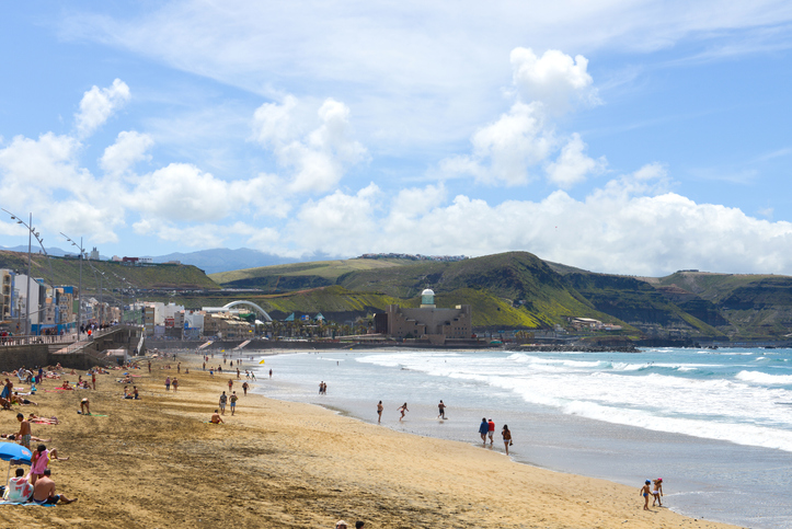
At Las Canteras beach in Las Palmas de Gran Canaria, the Smart Beach project uses volumetric sensors that indicate when trash bins need to be emptied, flow meters that monitor water use in showers and foot-washing stations, devices that count visitor numbers, and weather stations. This data makes it possible, for example, to optimize waste collection routes, adjust cleaning services, or adapt lifeguard and rescue resources to real need at all times.
On the mainland, management platforms such as Benidorm’s DTI platform, which integrates data from visitor-flow measurement systems, buoys, environmental sensors, and water-consumption monitoring, support tracking of beach occupancy and the status of various services. This information can be used both for municipal management and to inform visitors through apps or digital displays, helping to better distribute crowds and support data-driven decision-making.
Beaches with digital twins
Benidorm Smart Beach uses a digital twin of the coastline to simulate its management and systems aimed at saving water and energy, issuing weather alerts, and controlling waste. To do this, it relies on environmental sensors that measure temperature, humidity, visitor numbers, and water quality.
A similar approach can be found in the Balearic Islands. There, the regional government, through the Balearic Tourism Strategy Agency (AETIB), is driving a Digital Twin project that creates a virtual replica of the territory fed by data from sensors, weather information, mobility data, and other sources. The platform, which has received an investment of 4.6 million euros, combines all of this information with artificial intelligence and analytical tools to understand what is happening along the coast in real time, anticipate trends, and simulate different scenarios to optimize decision-making.
This type of initiative is backed by research carried out in the archipelago itself, such as a study conducted at Son Bou beach, on Menorca, which concluded that combining numerical models makes it possible to anticipate the erosion of beaches and dunes and improve planning in the face of rising sea levels.
Smart beaches represent a new way of caring for the coastline, based on continuous knowledge of the territory and the use of data to make better decisions. Technology does not replace conservation—it reinforces it, helping to protect these ecosystems, optimize their management, and foster a lasting balance for the preservation of these natural spaces.